- Residents
-
Community
-
Community services
-
Facilities & venues
-
Get involved
-
Parking & transport
-
 Help plan the City of Canada Bay's future and steer decisions on issues that matter to you.Share your feedback Collaborate Canada Bay
-
Community services
- Lifestyle
- Business
- Development
- Council
Community profile
Breadcrumb
- City of Canada Bay Council
- Community
- Community services
- Community profile
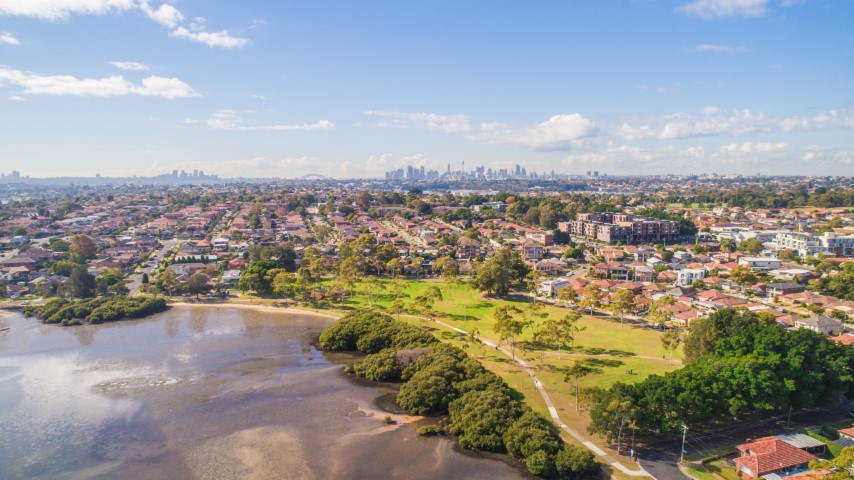
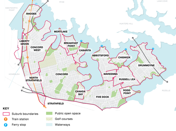
The City of Canada Bay has a land area of 19.9km² and an estimated population of 91,385 living in the local government area’s 17 suburbs.

Our area is located on the banks of the Parramatta River foreshore, approximately 6 kilometres from the Sydney Central Business District (CBD) and is bounded by the neighbouring local government areas of the Inner West, Burwood, Strathfield and Parramatta, and the Parramatta River.
There are a number of sources of information for community and demographic data for the City of Canada Bay Local Government Area.
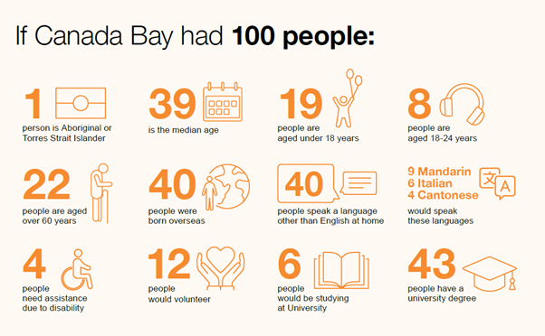
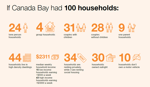
These resources give a snapshot of the character of our community and help understand who we are, what we do and how we live. This is useful for planning, research, advocacy, grant funding and school projects.


Click here for population statistics based on the 2021 Census.
Click here to view a snapshot of our community in tables and graphs derived from the 2021 census.
Click here to view key information in map format provided by Social Atlas.
Click here to for information on the projected future population based on population trends and likely development.
